
 WikiCards
 Play on iPhone nowFree in Safari. Add it to your Home Screen.Play
WikiCards · Card list · Nature cards · A535 road
Common card · Nature
A535 road, a Common card
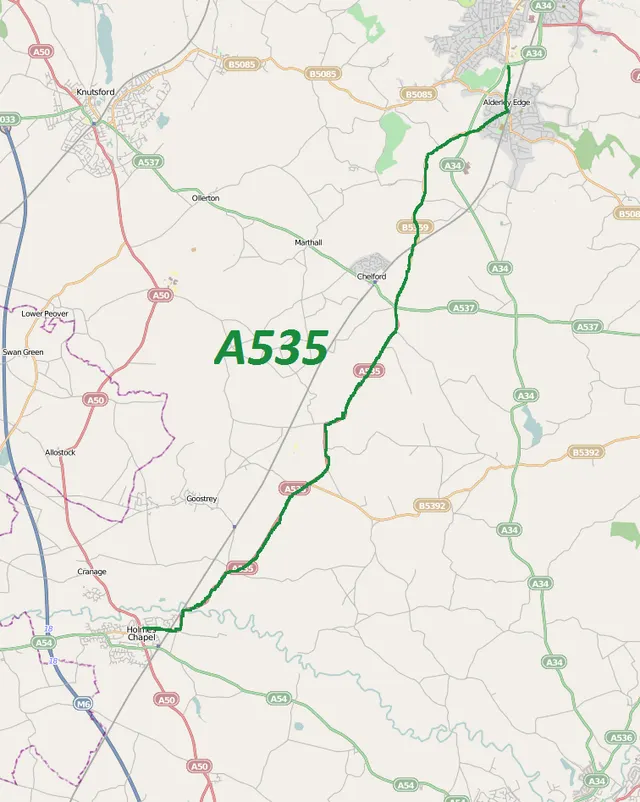
The A535 road is a non-primary route in England that runs from Holmes Chapel, Cheshire to Alderley Edge, Cheshire.
- Rarity
- Common
- Domain
- Nature
- ATK
- 58
- DEF
- 48
- Power
- 106
- Wikipedia reads a year
- 530
Power 106 (ATK + DEF): stronger than 60 % of WikiCards cards.
The facts on the card
The card carries these facts from its Wikipedia article.
- It passes through the Dane River valley.
- It is the main road that gives access to the Jodrell Bank Observatory and the Quinta Arboretum, planted by Sir Bernard Lovell in 1948.
Why it is Common
Rarity in WikiCards follows a year of Wikipedia page views: the most read articles become Epic and Legendary cards. The A535 road article was read about 530 times in a year. ATK comes from the length of the article and DEF from its quality, so this card hits with 58 and blocks with 48: each hit it takes is cut by 19 %.
How to get A535 road
Open packs. Each pack holds five cards drawn from real Wikipedia articles, the rarest last, and the fifth card is always Rare or better. The odds are shown in the game. A free pack arrives every hour and two can wait, and the Coins you win in duels buy more packs.
More Nature cards
Cards close in power
The cards just above and just below A535 road in the power ranking, all domains together.
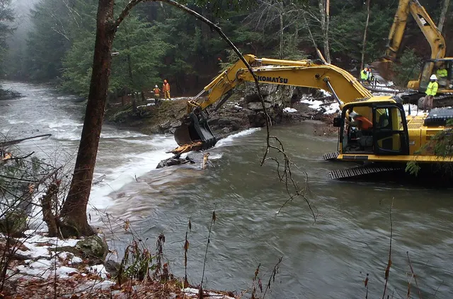
- Eureka Transit ServiceCommon · Society · ATK 56 DEF 50
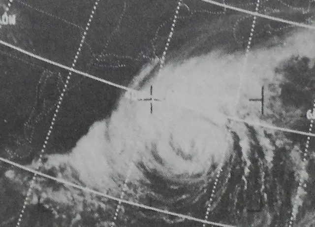
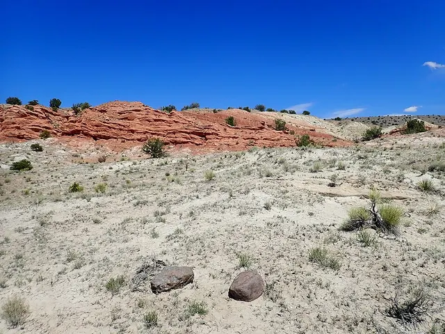
- Galisteo FormationCommon · Nature · ATK 54 DEF 52
- Earl S. PiperCommon · History · ATK 61 DEF 45
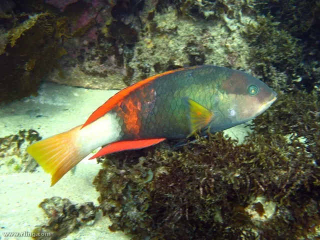
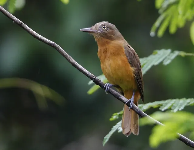
- White-eyed attilaCommon · Nature · ATK 55 DEF 51
- Zenda, VirginiaCommon · History · ATK 56 DEF 50
- Kim RaimiCommon · Society · ATK 58 DEF 48
Card lists
- All cards from A to ZEvery card, by name
- Nature cards600 cards
- Science cards600 cards
- History cards600 cards
- Arts cards600 cards
- Society cards600 cards
- Tier listS and A tiers by power (ATK + DEF)
- Legendary cards136 cards
- Epic cards262 cards
- Strongest cardsTop 100 by attack
Credits
Text : Wikipedia, A535 road (revision), CC BY-SA 4.0. Photo : Dr. Blofeld based on OpenStreetMap, CC BY-SA 2.0, Wikimedia Commons.
